Empowering Industries with Advanced Drone Solutions
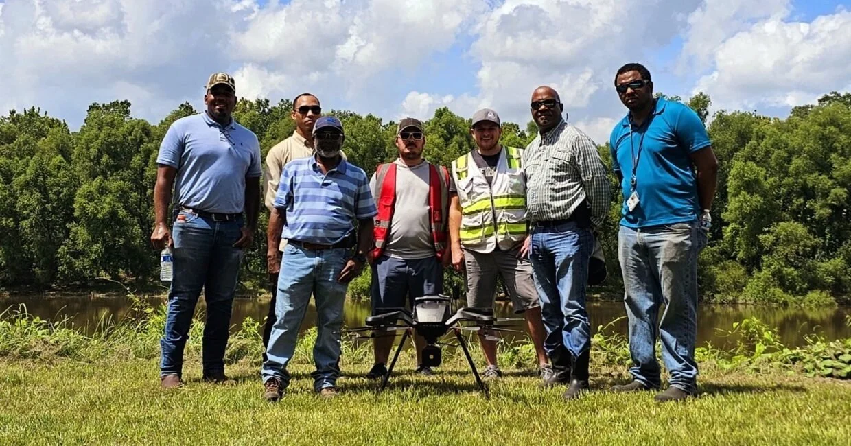
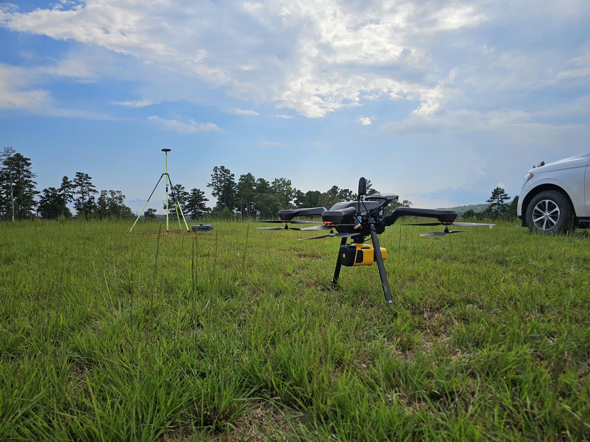
Aero Velocity drones in action, watershed scanning for the NRCS

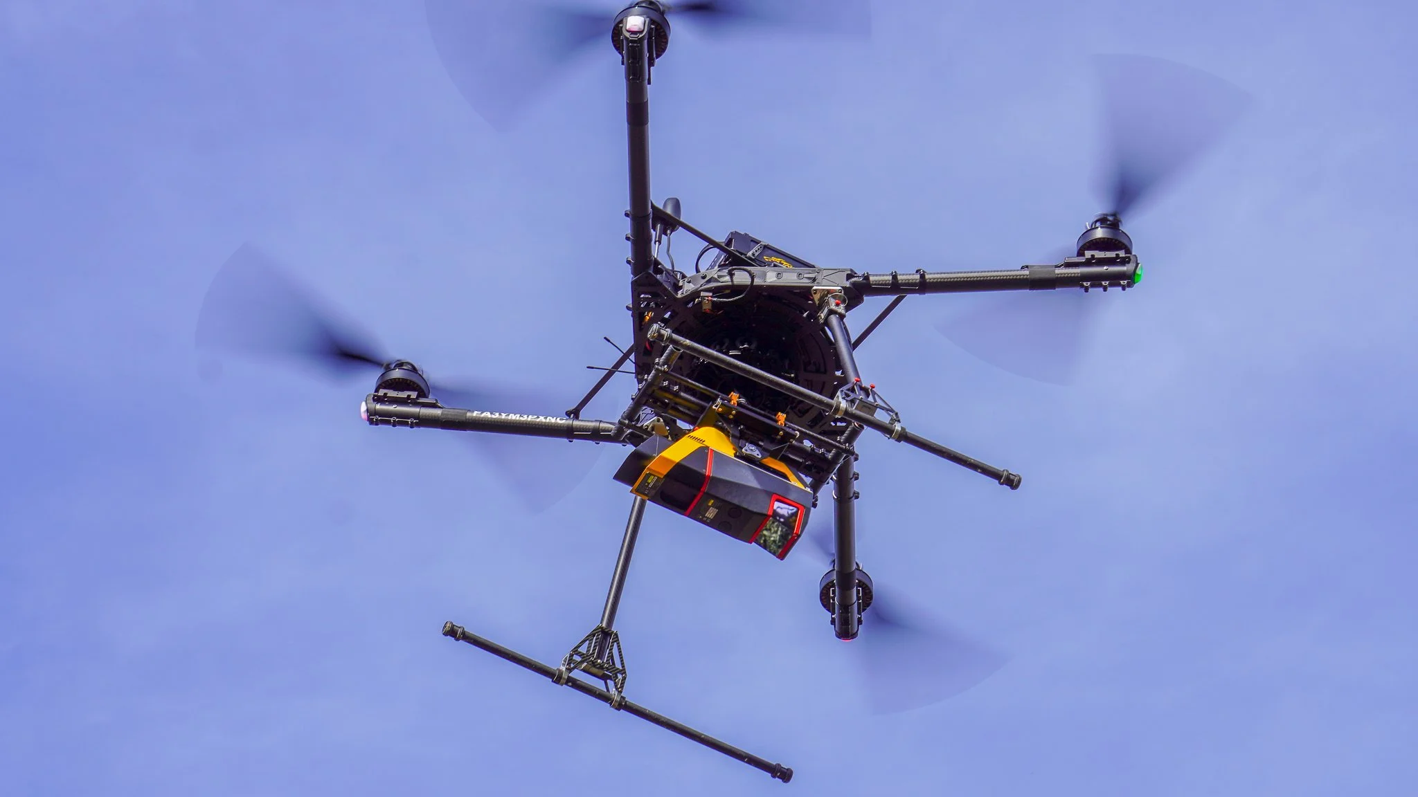
At Aero Velocity, we provide cutting-edge drone services tailored to meet the unique needs of diverse industries. From agriculture and forestry to construction, infrastructure, and environmental research, our expertise in LiDAR, multispectral imaging, and precision data acquisition enables businesses and organizations to unlock new efficiencies and insights.
Industries We Serve
Commercial Services
-
Drone-based exterior cleaning for tanks, buildings, and structures without lifts, scaffolding, or shutdown.
-
3D digital twins, LiDAR scans, and visual walkthroughs of your facility so you can plan, budget, and prove compliance.
-
Internal tank inspection and condition reporting — no human entry, no confined space permits
-
LiDAR & multispectral mapping.
Large-area mapping, post-event assessment, volumetrics, and multispectral analysis for land, levees, corridors, and sites. -
Thermal and OGI leak detection to identify heat loss, gas leaks, and safety hazards before they become fines or shutdowns.
Governmental Services
-
Drone-based exterior cleaning for tanks, buildings, and structures without lifts, scaffolding, or shutdown.
-
3D digital twins, LiDAR scans, and visual walkthroughs of your facility so you can plan, budget, and prove compliance.
-
Internal tank inspection and condition reporting — no human entry, no confined space permits
-
LiDAR & multispectral mapping.
Large-area mapping, post-event assessment, volumetrics, and multispectral analysis for land, levees, corridors, and sites. -
Thermal and OGI leak detection to identify heat loss, gas leaks, and safety hazards before they become fines or shutdowns.
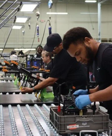
OEM Manufacturing
-
Aero Velocity designs and builds turnkey UAV platforms and payloads customized to your mission. From airframes and powertrains to LiDAR, thermal, and optical payload integration, we engineer systems that meet your performance, durability, and compliance requirements out of the box. You bring the market use case, we deliver a production-ready, field-tested solution with documentation, training, and ongoing support.
-
Turn Aero Velocity’s proven platforms into your branded product line. We offer white-label and co-branded manufacturing programs that include hardware, QC, firmware configuration, and packaging aligned to your brand standards. Our team supports you with scalable production runs, service documentation, and training so you can focus on sales, channel growth, and customer success while we handle the build.
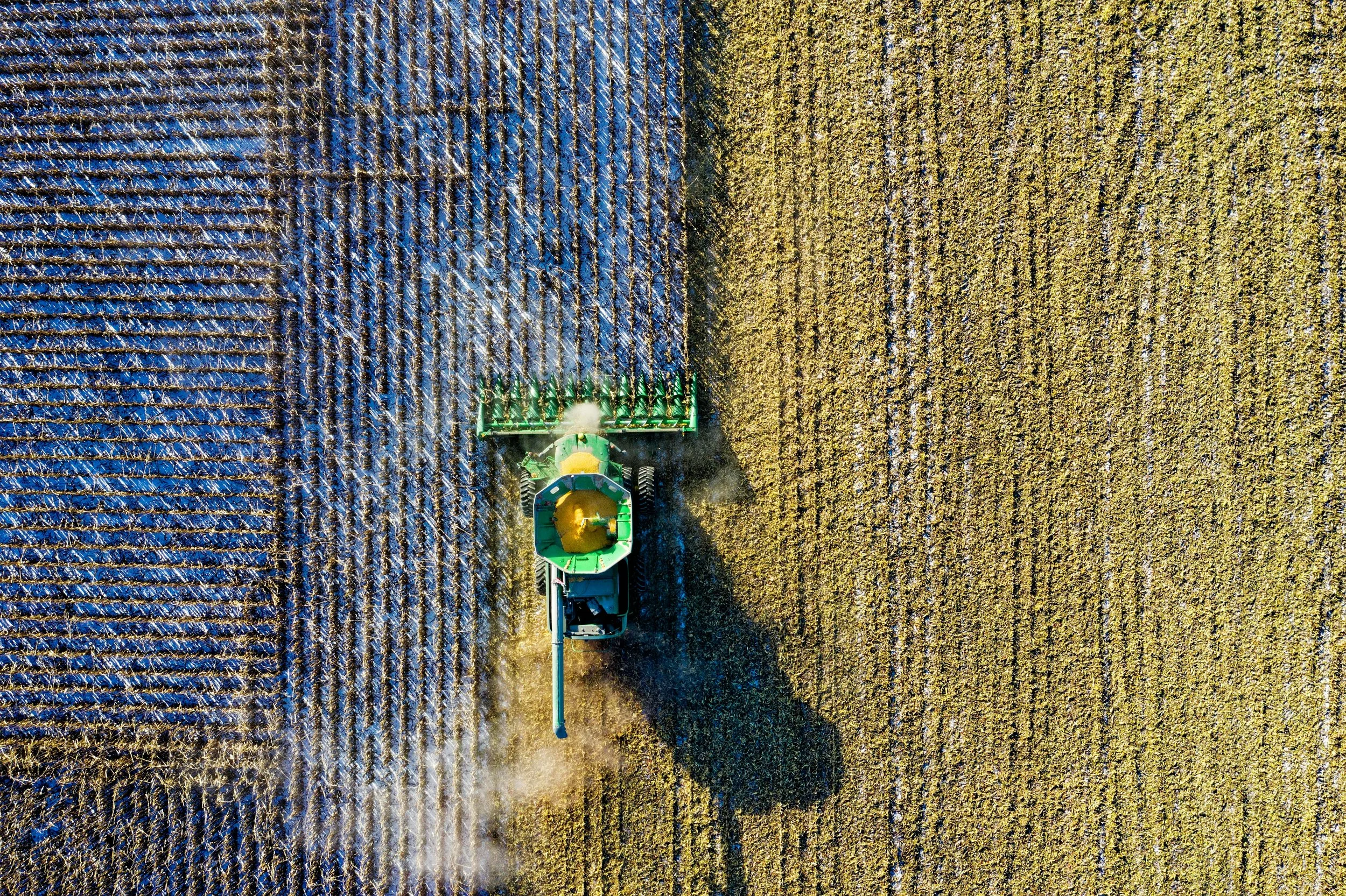
Precision Agriculture
Actionable insight we provide farmers to help inform crucial decision-making and cost savings:
Early detection of water and nutrient stress and deficiencies or pest infestation
Crop health monitoring, soil mapping, and irrigation
Water and fertilizer usage
Erosion analysis
Algorithmic yield predictions and plant counting
Forestry & Land Management
Invasive species and pest control
Infrastructure and natural resources damage assessment
Archaeological site assessment
Flood damage assessment
Habitat assessment and monitoring
Under-threat areas
Industrial
Drones offer unbeatable ways to save time, reduce costs, and enhance safety. Aero Velocity’s skilled pilot team can be deployed quickly and efficiently across a range of industries to capture critical data and provide actionable insights.
Construction
Energy
Solar
Emergency and disaster
Transmission and distribution
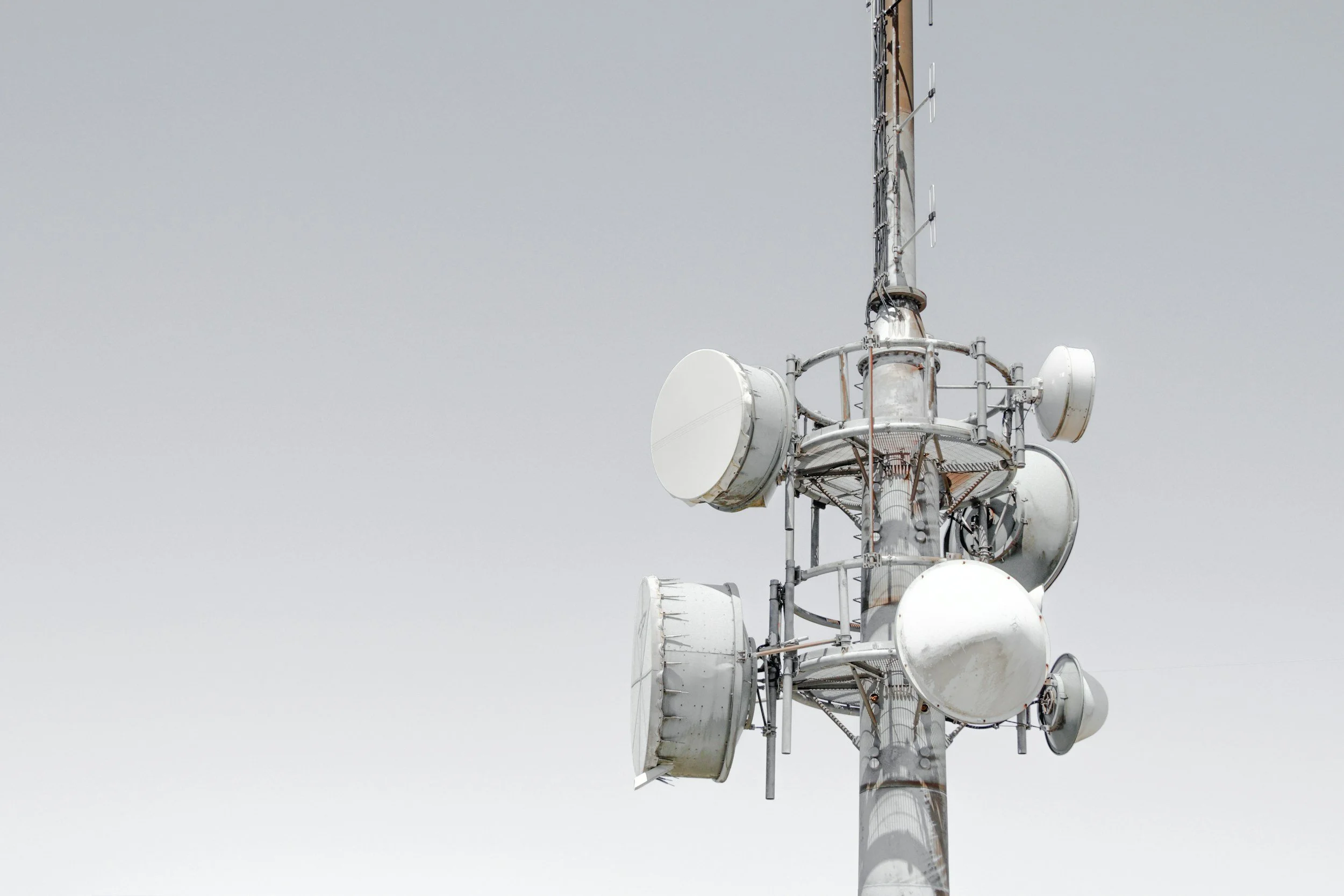
Cell phone towers
Dams and levees and canals
Urban scanning for Emergency response planning
Railway Scanning
Mine planning and mapping
Pipeline Inspection