Aero Velocity’s Clients & Partners

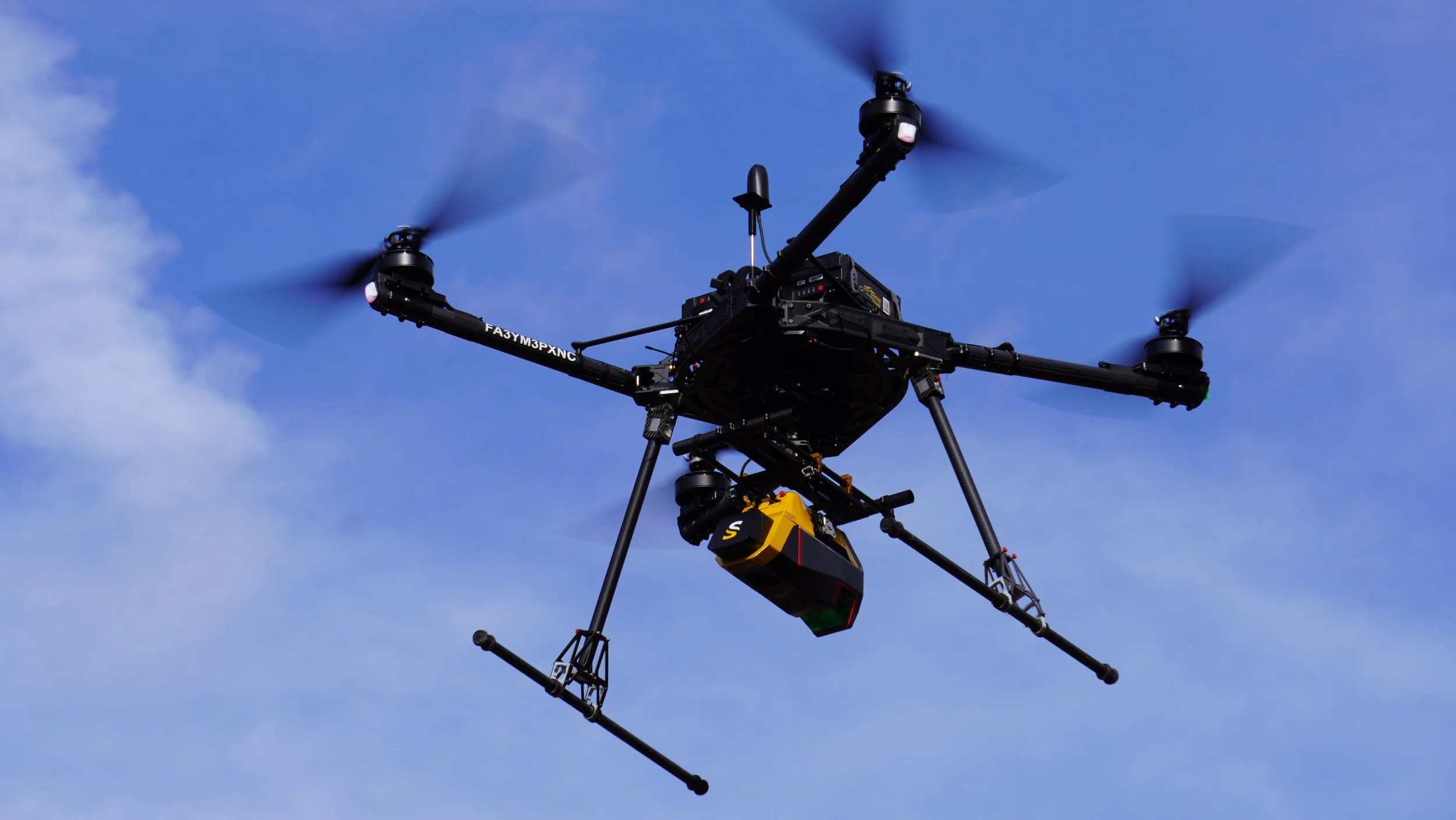
U.S. Department of Agriculture
We have completed projects for the U.S. Department of Agriculture for farmland scanning to improve crop yield and promote better management of our earth’s resources.
Objective:
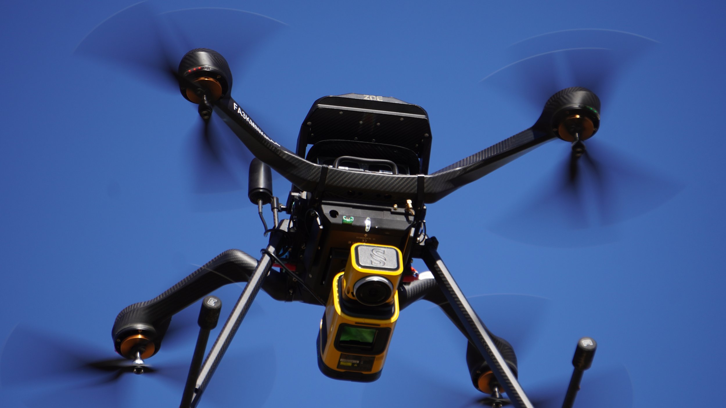
•Provide high-resolution LiDAR and multispectral imaging to help farmers optimize:
•Irrigation planning for water conservation
•Land management to improve soil health and crop yields
•Nutrient management for precision agriculture
•Support historically underserved farming communities by improving access to advanced geospatial technology.


Natural Resources Conservation Service
The NRCS is an agency of the USDA whose primary mission is to provide technical and financial assistance to farmers, ranchers and forest landowners to help them conserve, maintain and improve their nature resources.
Aero Velocity has worked with the NRCS to provide high-resolution LiDAR and multispectral imaging data for rice farmers in Mississippi, aiding in wetland restoration and cropland erosion.
We also completed work with the NRCS on the Watershed Dam Rehabilitation project. Aero Velocity has scanned over 40+ earthen dams and levees and many of these watershed dams are aging, requiring erosion & structural assessments. Drone based LiDAR scanning provides a faster, cost-effective way for NRCS engineers to access the health of these levees.
U.S. Forest Service
The USFS is a federal agency that manages 193 million acres of public lands in national forests and grasslands. USFS provides technical and financial assistance to state and private forestry agencies and is the largest forestry research organization in the world.
Aero Velocity has partnered with the USFS to leverage our advanced data collection capabilities in aiding efforts to combat invasive species, address habitat loss, and preserve archaeological sites. By supporting the USFS with precise and timely data, we contribute to the effective management and conservation of these critical public lands.

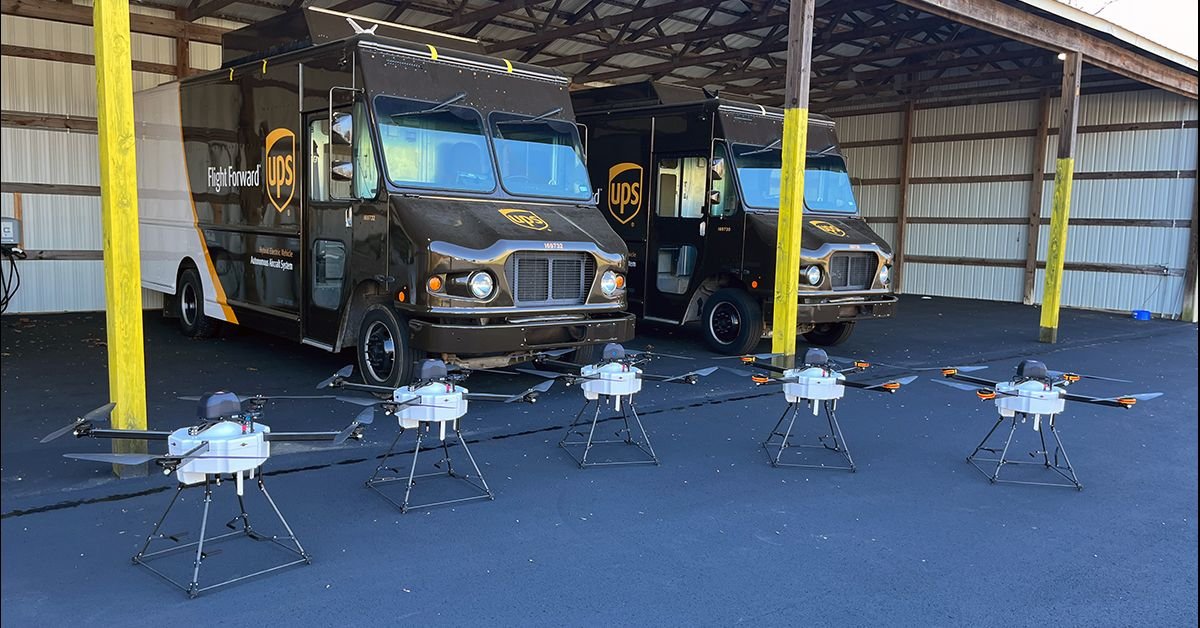
UPS Flight Forward
UPS Flight Forward (UPSFF) and Aero Velocity have been engaged in a significant and ongoing collaboration aimed at bringing safe, reliable and capable drone delivery systems to the market.
In 2023, UPSFF initiated the rigorous Federal Aviation Administration (FAA) process to integrate the WA4-100 Horsefly into UPSFF’s FAA Part 135 “drone airline” certificate. Flight testing has spanned hundreds of hours while covering many flight tests utilizing its fleet of aircraft.


Valqari
Valqari, a leading innovator in the drone delivery market, has created the Valqari Drone Delivery System, enabling drones to land, deliver their package and take off autonomously while safely securing the package and ensuring a secure chain of custody. Valqari, one of the first Aero Velocity customers, has been working with the Horsefly aircraft and integrating it with the Valqari Drone Delivery System.

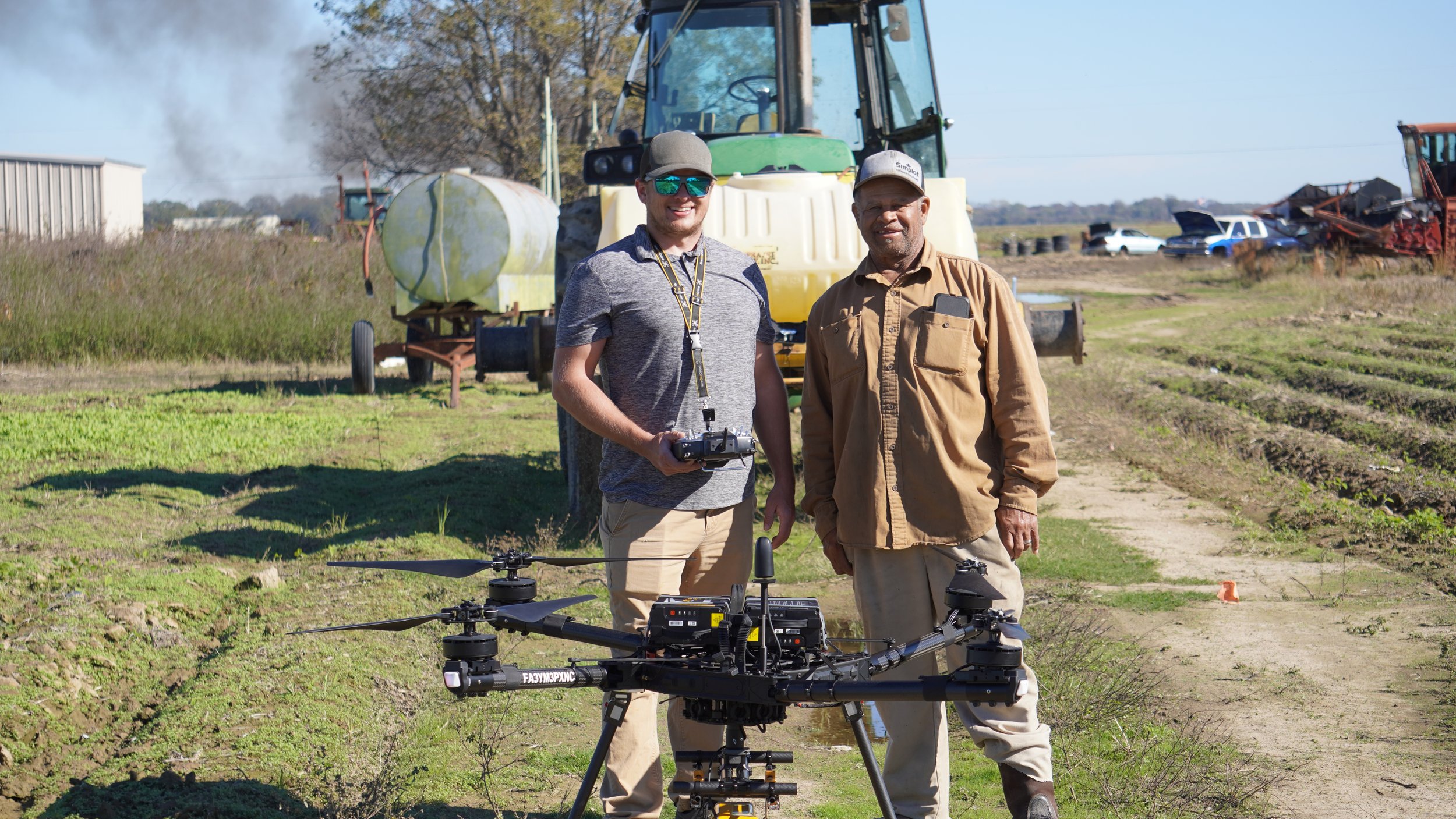
Aero Velocity pilots with Minority Famers of the South
Partners


Educational Outreach

Aero Velocity, in collaboration with the NRCS, is demonstrating how drone technologies benefit agricultural and engineering industries through data collection.

Aero Velocity has partnered with Butler Tech to provide industry experience and opportunities for students that are interested in the UAS industry by supporting Butler Tech’s UAS and Aviation programs through program engagement.
Sinclair College, a leader in UAV accredited degrees, has a strong standing relationship with Aero Velocity as well as both based in Ohio. Sinclair operates many drones including the Falcon, donated by Aero Velocity.

Technologies
Aero Velocity is proud to work with: