

Drones as a Service
Aero Velocity offers a wide range of services using drones for data collection to cleaning and can cater to our customer’s needs. We provide the pilots, aircraft, and gear for any situation.

Clean Sweep™
Exterior drone cleaning (facades, glass, tanks).


30–60% faster, no scaffolding.
Terra Vision™
LiDAR terrain mapping and multispectral analysis utilizing AI-powered data science
Dense, accurate data under canopy.
Tank Vision™
Internal tank/Confined Space inspections (no entry)
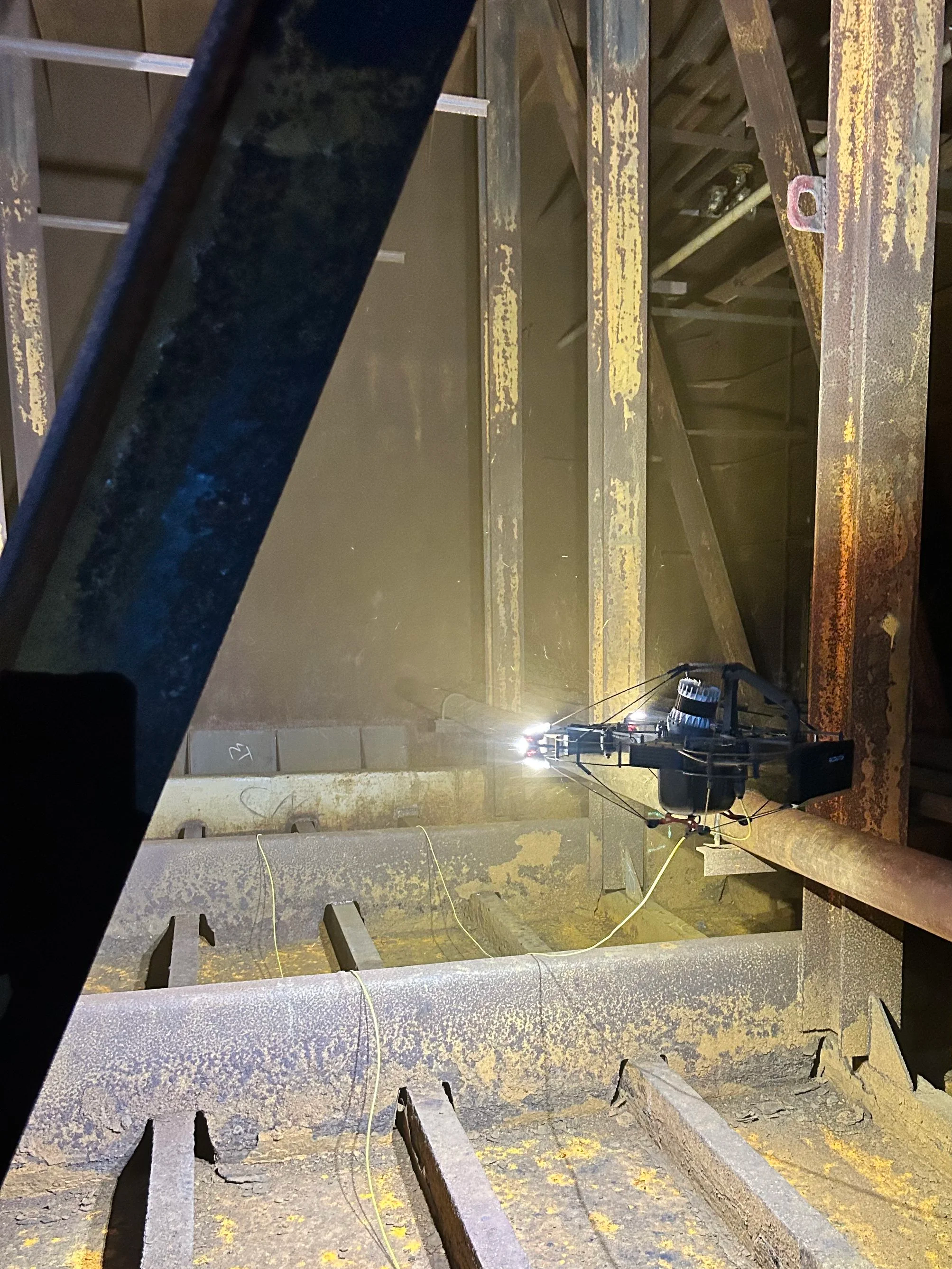
Safe, fast.
Site Snap™
3D digital twins & visual docs.
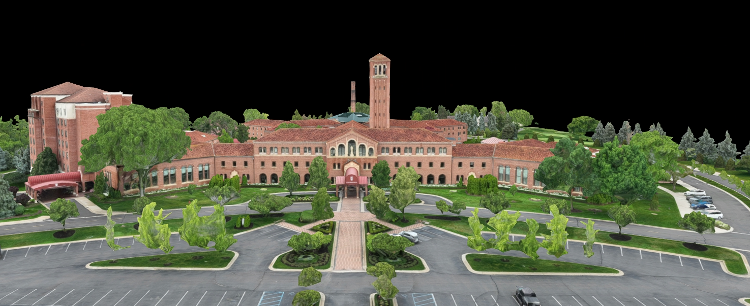
Fewer site visits; single source of truth.
Heat Scope™
Thermal/OGI analytics.

Early fault detection.
Sensor Services We Provide
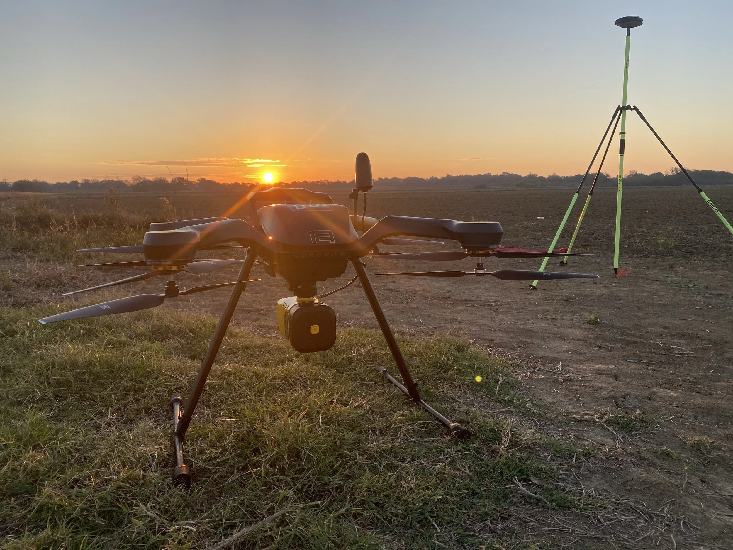
LiDAR
LiDAR (Light Detection and Ranging) is a method that uses light in a form of a pulsed laser to measure ranges. With our advanced LiDAR sensors, Aero Velocity can offer a wide range of data collection to generate precise, three-dimensional information to cater to our customers needs.
Elevation mapping
Ground classifications
Digital Surfaces Model (DSM) and Digital Elevation Model (DEM)
Contour mapping
Erosion path mapping
Full point cloud data

Photogrammetry
Photogrammetry is the art and science of extracting 3D information from photographs. The process involves taking overlapping photos of an object, structure, or space, and converting them into 2D or 3D digital models. 3D mapping photogrammetry is a powerful technique for creating accurate, detailed, and realistic 3D models from photographic data, with wide-ranging applications in various fields.
Orthomosaics - highly detailed, geometrically corrected aerial images created by stitching together multiple photographs, providing a high resolution photo that can be used for measurement, georeferencing, and geometric corrections
3D mapping
Archeological site scanning
Documenting and analyzing sites and artifacts
Industrial site scanning
Construction site planning and tracking
Building modeling and monitoring
Urban planning

Multispectral Imagery
Drones equipped with a multispectral camera have the ability to capture images in different spectral bands, including red, green, blue, near-infrared, and red-edge. The images captured by the multispectral sensors are most often used to provide valuable information on vegetation. Using multispectral data can provide many benefits:
Improved crop management
Soil health and fertilizer placement
Enhanced Environmental monitoring
Pin-point mapping
Show disease and plant health before visible to human health
Give accurate yield prediction and plant counting using algorithms

Thermal Imagery
Thermal imaging cameras, also known as infrared cameras, can detect thermal energy and visualize it as an image. Objects that emit radiation based on temperature emissions can be detect by our drones and the collected data can provide a number of useful insights:
Identifying heat leaks in buildings
Monitoring wildlife
Detecting human presence for search and rescue operations
Assessing crop health in agriculture
Monitoring equipment and infrastructure for maintenance purposes

Bathymetric
Bathymetric surveys allow us to measure the depth of a water body as well as map the underwater features of a water body. Aero Velocity will be adding this service to our portfolio soon.
Measure the depth of a water body.
Map underwater features.
Illustrate the land below the water surface.
Analyze sediment yield in reservoirs or check dams.

Emergency Response Services
Drones have become invaluable in emergency response services, providing quick and effective support in various scenarios. Aero Velocity can help with disaster assessment and management by providing speed and efficiency, safety, and cost effectiveness.
Post-event geospatial assessment
Aerial video footage
Lidar and multispectral assessment