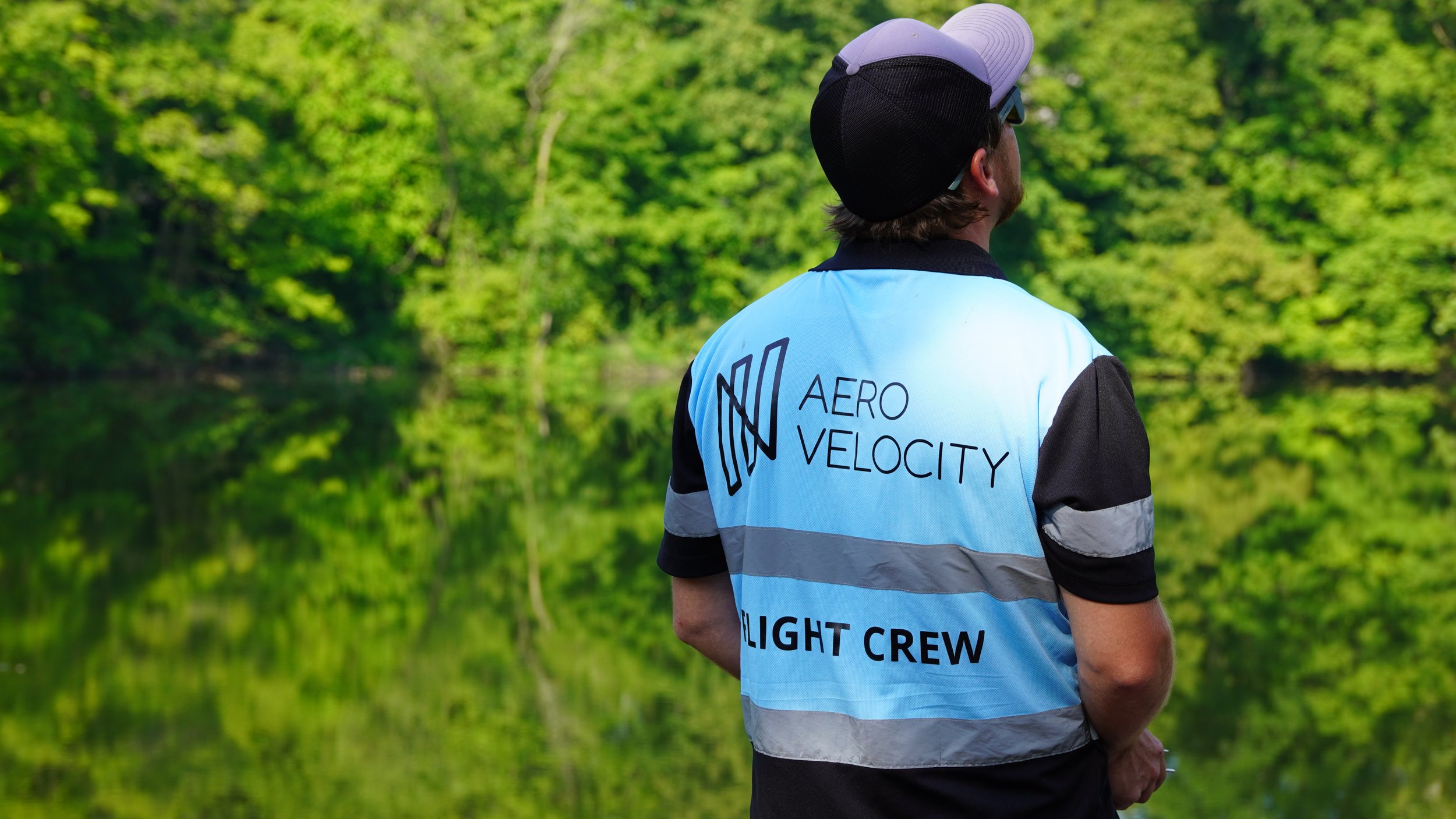
TerraVision™
TerraVision™
Precision Agriculture & Environmental Intelligence from Above
Empowering smarter land management with high-resolution aerial data.
TerraVision™ by Aero Velocity combines LiDAR, multispectral imaging, and AI-powered analytics to deliver actionable insights that transform how farmers, conservationists, and land managers understand and manage the world below.

The Future of Precision Agriculture
Modern agriculture demands more than visual observation—it requires data-driven decision-making.
TerraVision™ captures millions of data points per acre, providing 3D elevation maps, vegetation indices, and soil health models that help optimize irrigation, reduce input waste, and improve yield outcomes.
Applications include:
Irrigation and drainage planning
Crop health and vigor monitoring (NDVI/NDRE)
Erosion and slope analysis
Vegetation classification and field boundary mapping
Soil structure and elevation modeling
Results:
20–40% water-use reduction, improved nutrient management, and measurable gains in sustainability and productivity.

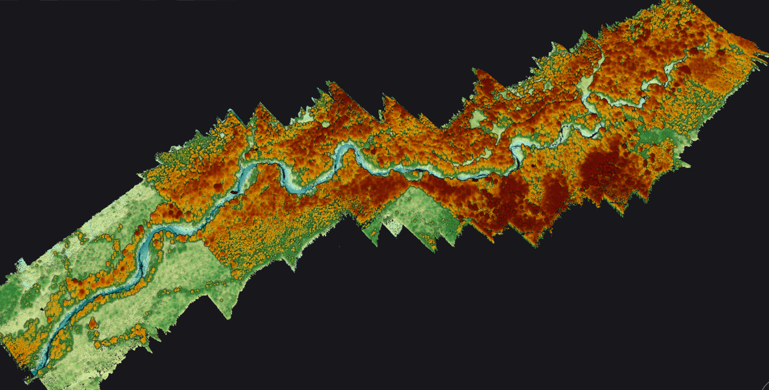
Environmental Mapping & Conservation
TerraVision™ isn’t just for farms — it’s also powering environmental and forestry projects across the U.S.
Our teams work with the U.S. Forest Service, NRCS, and universities to map wetlands, forests, and watersheds with centimeter-level accuracy—without disturbing fragile ecosystems.
🌿 Conservation Applications:
Wetland and watershed analysis
Forest canopy and biomass assessment
Land-use change detection
Habitat restoration planning
Floodplain and erosion modeling
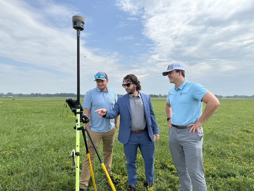
How It Works
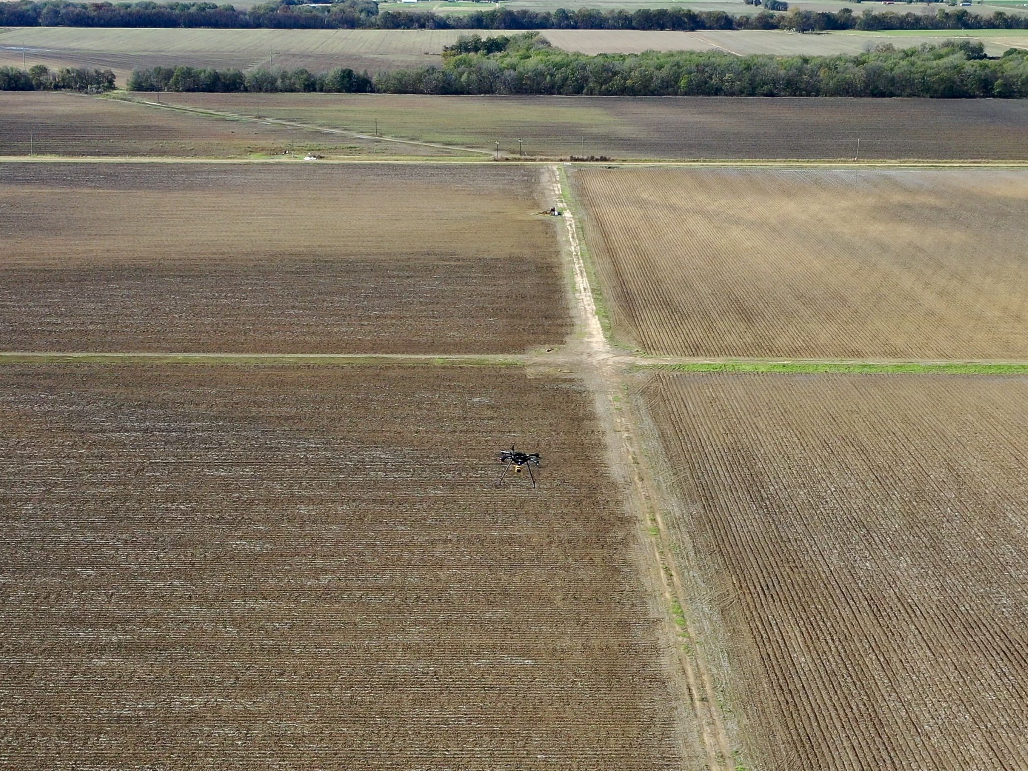
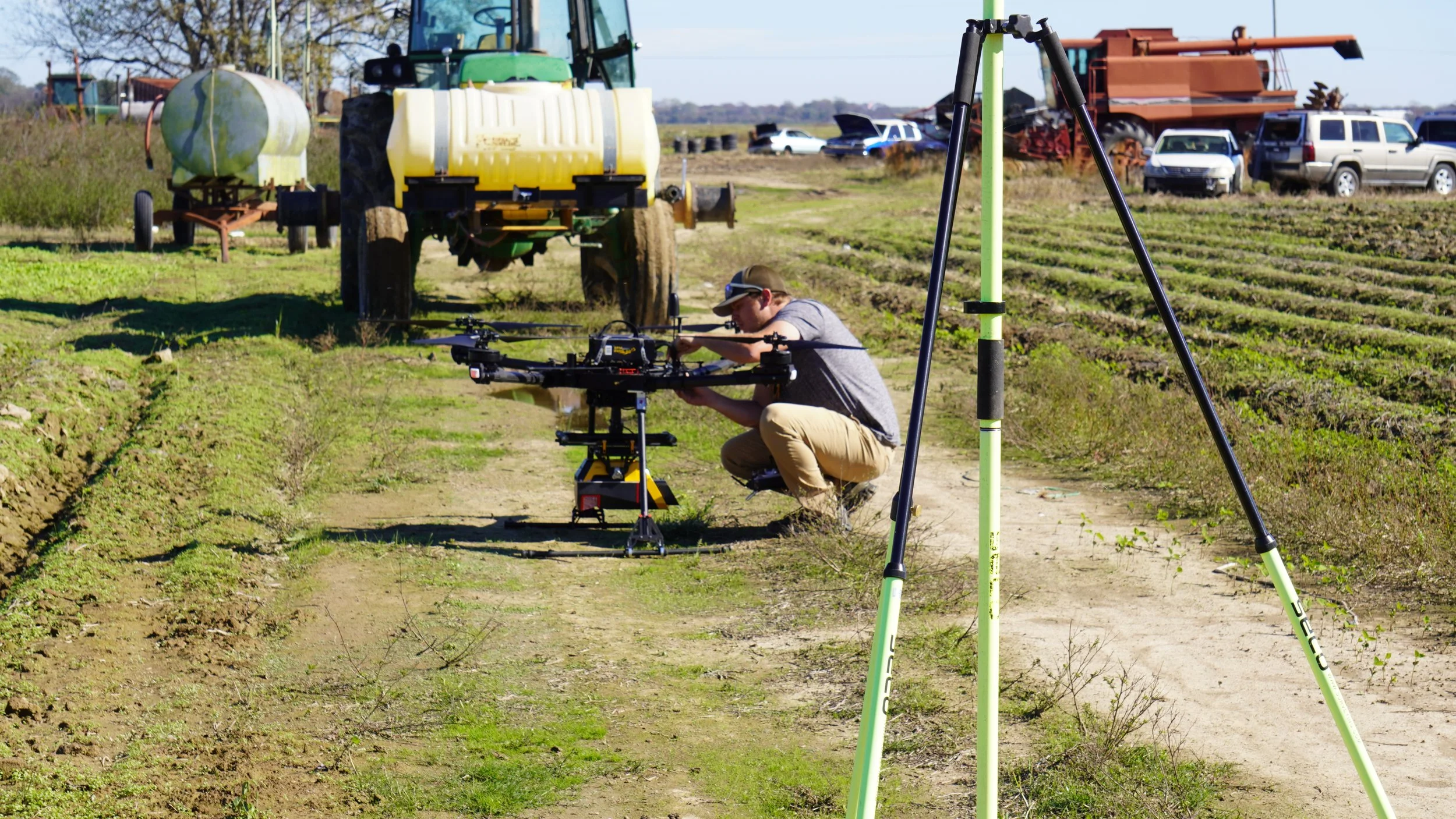
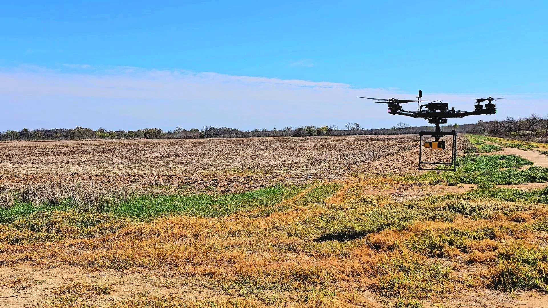
Capture – Our drone platforms equipped with LiDAR and multispectral sensors collect ultra-dense data across your site.
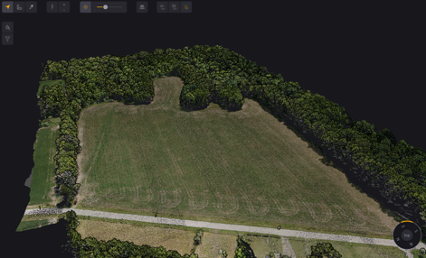
Process – Using advanced geospatial software and AI algorithms, data is processed into high-resolution maps and analytics layers.
Deliver – You receive interactive maps, 3D models, and actionable insights—ready to integrate into your GIS, CAD, or farm management system.
Why Choose TerraVision™
Research-grade precision backed by FAA-certified pilots
NDAA-compliant hardware and secure data handling
Faster turnaround than traditional surveying
Custom reporting for field operations and grant compliance
Proven success with USDA NRCS and U.S. Forest Service projects
Explore Real-World Impact
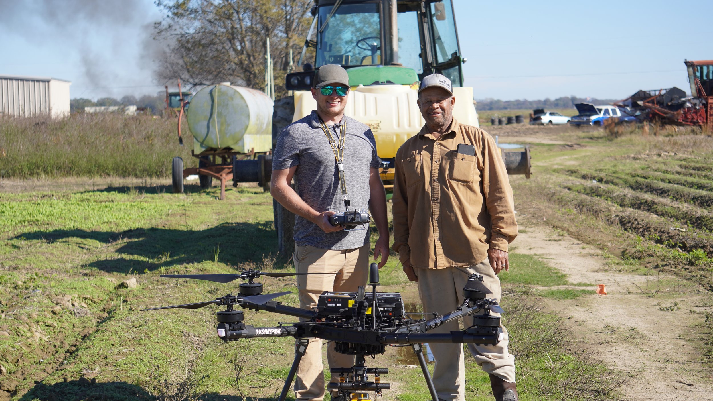
Helping Farmers in the Mississippi Delta
Aero Velocity’s TerraVision™ program supports socially disadvantaged and minority farmers by mapping rice fields for precision irrigation.
Our data helps determine optimal poly-pipe placement—cutting water waste by up to 40% and improving crop consistency.

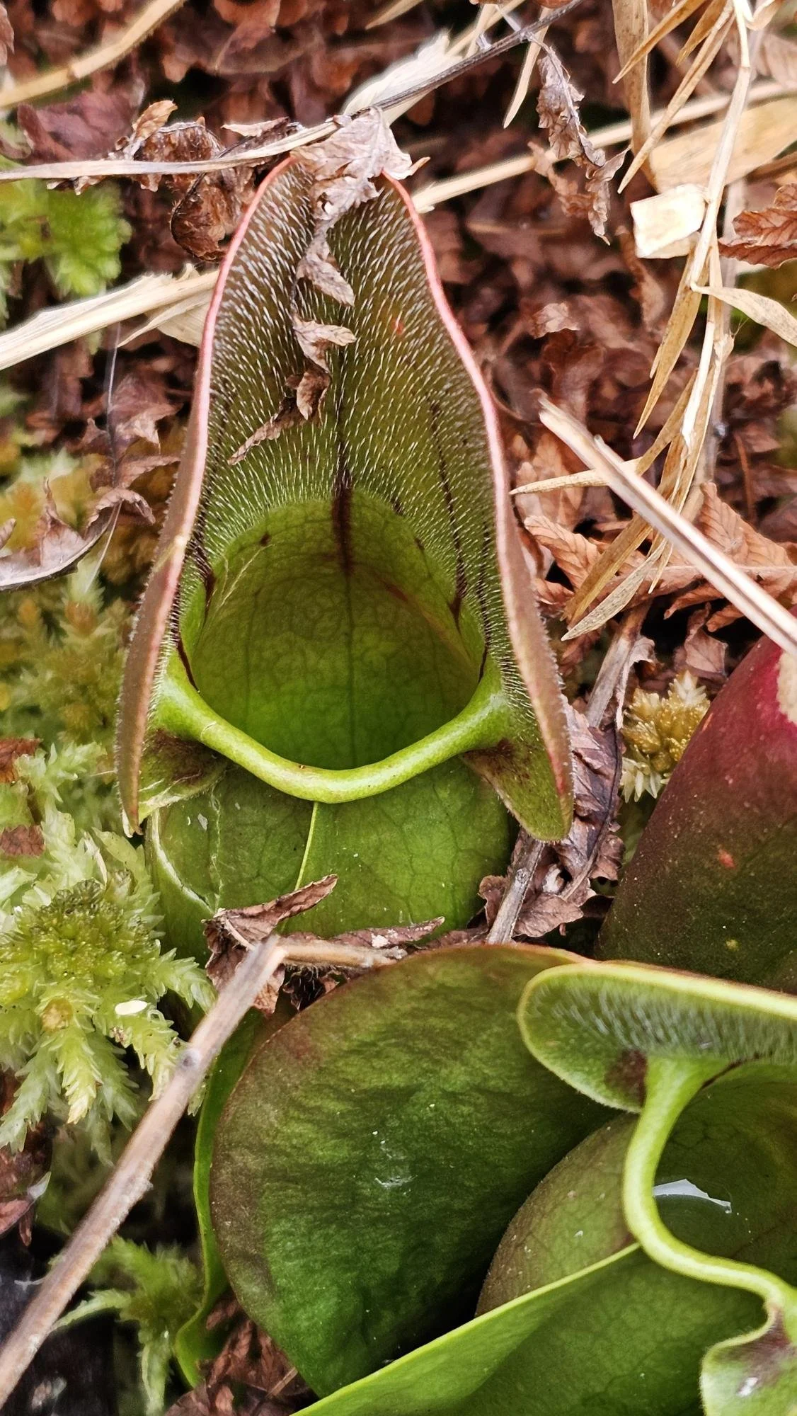
Monitoring Rare Ecosystems
With the U.S. Forest Service, TerraVision™ provides non-invasive LiDAR and spectral data for Montane Bog preservation, tracking subtle ecological changes invisible to the naked eye.
Let's Work Together
Let's Work Together
Let’s explore how we can help you.