Scaling Drone Operations in Forestry and Farmland Projects: Webinar Recap
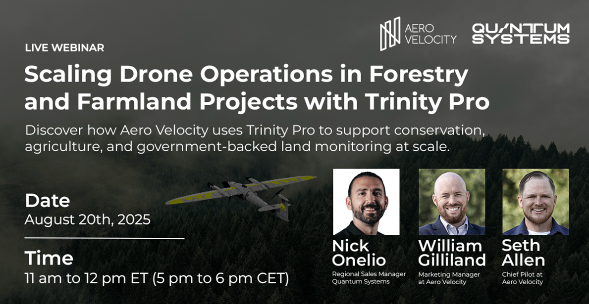
On August 20, 2025, Aero Velocity and Quantum Systems partnered to host an in-depth webinar, Scaling Drone Operations in Forestry and Farmland Projects with Trinity Pro. The session highlighted how advanced drone technology—specifically the Quantum Systems Trinity Pro—is transforming forestry, agriculture, and environmental management.
The Speakers
The webinar featured a collaborative discussion between:
- William Gilliland, Marketing Manager at Aero Velocity
- Seth Allen, Chief Pilot at Aero Velocity
- Nick Onelio, Business Development Manager at Quantum Systems
Together, they explored the challenges of scaling drone operations and shared firsthand experiences from real-world projects.
Why Scaling Matters
Forestry and farmland projects often cover vast, remote, and rugged landscapes. Traditional multirotor drones are limited by short flight times and smaller coverage areas, creating inefficiencies for large-scale data collection.
The Trinity Pro VTOL fixed-wing UAV changes that equation. Capable of mapping up to 304 acres in a single flight, the system enables up to three times the efficiency of multirotor setups, all while carrying industry-leading payloads such as LiDAR and multispectral sensors.
For Aero Velocity, this efficiency isn’t just about speed—it’s about delivering high-quality, research-grade data at scale, whether for conservation, precision agriculture, or federal agency projects.
Highlights from the Webinar
- Agency Partnerships
Aero Velocity showcased its work with the U.S. Forest Service, USDA, and NRCS, demonstrating how aerial data directly supports conservation, watershed monitoring, and sustainable agriculture. - Mission Success Stories
From montane bog mapping with the USFS to precision irrigation planning for rice farmers in Mississippi, Aero Velocity shared real-world examples of how Trinity Pro missions provide actionable insights. - Technology Advantage
- Terrain-Following Autonomy: Ensures accurate flights in variable landscapes.
- Modular Payloads: LiDAR for 3D terrain modeling, multispectral sensors for crop health, and thermal imaging for risk assessment.
- Data Workflow: Seamless integration with Pix4D and other analytics platforms for fast turnaround.
- Looking Ahead
The discussion also touched on the future of BVLOS operations, predictive analytics, and the role of AI in drone-based decision-making.
The Aero Velocity Approach
At Aero Velocity, we don’t just fly drones—we provide end-to-end solutions. That means:
- Collecting the data with cutting-edge aircraft.
- Processing and analyzing results into usable reports.
- Training partners and clients to interpret data for real-world decisions.
By combining operational expertise with advanced platforms like the Trinity Pro, Aero Velocity is helping organizations make smarter choices that protect resources, improve efficiency, and lower risk.
Watch the Webinar On Demand
If you missed the live session, the full recording is now available on demand:
👉 Watch the Webinar Replay
✈️ Aero Velocity remains committed to advancing drone-powered operations across forestry, agriculture, and environmental management. With every mission, we’re proving that scaling drone operations isn’t just possible—it’s essential.

